
Charters in Bonita Springs
Call or visit a captain's website to ask about trips, dates and prices. If they're out on the water, leave a message.
7 charters in Bonita Springs
-
Cruise Fish Dive
Bonita Springs, FL
Fishes for: TarponSnookSpeckled troutSharkMangrove snapper+18 more
Up to 6 peopleContact checked Sep 2026 on cruisefishdive.com · Details
-
Cross Em' Off Charters
Bonita Springs, FL
Fishes for: SnookRedfishSpeckled troutGoliath grouperCobia+5 more
Contact checked Sep 2026 on masterbaitandtackle.com · Details
-
Charleys Charters
Bonita Springs, FL
Fishes for: SnookRedfishSpeckled troutSheepsheadPompano+9 more
Contact checked Sep 2026 on charleyscharters.com · Details
-
Bonita Springs Fishing Charters
Bonita Springs, FL
Fishes for: SnookRedfishSpeckled troutCobiaTarpon+13 more
Up to 6 peopleContact checked Sep 2026 on bonitaspringsfishing.com · Details
-
"Get Hooked" Charter Fishing
Bonita Springs, FL
Fishes for: TarponSnookSpeckled troutRedfish
Boat 22 ftContact checked Sep 2026 on gethookedcharter.net · Details
-
Bonita Beach Fishing Charters
Bonita Springs, FL
Fishes for: Snook
Up to 3 peopleContact checked Sep 2026 on bonitabeachfishingcharters.com · Details
Deep sea fishing in Bonita Springs
4 of the 7 charters in Bonita Springs list offshore trips on their own websites.
Offshore fish you can keep in September
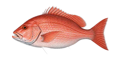 Red SnapperKeep one
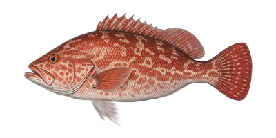 GrouperKeep one
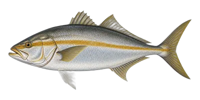 AmberjackKeep one
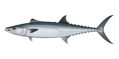 King MackerelKeep one
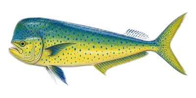 Mahi-MahiKeep one
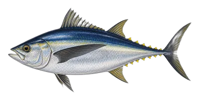 TunaKeep one
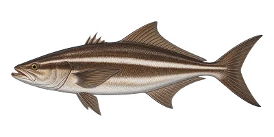 CobiaKeep one
State or federal water
Florida state waters in the Gulf run from shore to 9 miles out; beyond that is federal water. Which side of that line you fish on can change the season and the limits.
Federally permitted boats
Aboard a charter with a federal Gulf reef fish permit, the federal season applies to red snapper, gag grouper and amberjack, even inside state waters. Ask whether the boat is federally permitted.
Harvest status is September's rule for Bonita Springs from FWC and NOAA Fisheries; state-waters distances are FWC's. Tap a fish for dates, sizes and limits.
What a trip costs in Bonita Springs
The rates Bonita Springs charters publish on their own websites, by trip length. These are the price of the whole boat, and a range across many boats rather than any one boat's rate. Read on 2026-09-23. Confirm with the captain when you call.
- Half day (3-5 hours)$500 – $750 8 charters publish a rate · middle of the range $600
Prices move, and a quiet Tuesday is not a holiday weekend. Nothing here is a booking; we take no fee and hold no rates.
Where the boats leave from, and where they fish
Docks and fishing grounds named by Bonita Springs charters on their own websites. A place is listed when at least two of them name it.
Fishing grounds they name
- Bonita Springs6 charters
“Captain Steve is a seasoned captain that specializes in fishing the inshore grass flats and mangrove islands of the Bonita Springs area for Snook, Redfish, Trout and Sharks.”
- Estero Bay5 charters
“Places we can go to-The Imperial River, Estero Bay, Fort Myers Beach, Lovers Key and north Naples”
- Lovers Key State Park2 charters
“Visit Little Hickory Island Beach Park, Lovers Key State Park, Bonita Beach Park or one of the many other amazing beaches.”
Fishing trips in Bonita Springs by type
Counted from what each captain lists on their own website.
Inshore and bay fishing in Bonita Springs
4 charters list inshore trips, in the bays, back-waters and shallows closer to shore. Among them: Cross Em' Off Charters, Bonita Springs Fishing Charters, "Get Hooked" Charter Fishing, Bonita Beach Fishing Charters.
Family fishing charters in Bonita Springs
3 charters mention kids or families on their websites. Ask the captain about life jackets in children's sizes and how long the trip runs.
Planning a trip to Bonita Springs
Check tides for your dates, see what each month is usually like, and see the closest airports.
Tides on your fishing day
NOAA tide predictions for Little Hickory Island.
Typical conditions by month
- Warmest water: May to September
- Fewest rainy days: February and March
- Coolest water: January, around 67°F
- Warmest air: July, highs near 91°F
Closest airports
With airline service
- RSWSouthwest Florida International 13 miles away
- PGDPunta Gorda 41 miles away
Local public airports
- APFNaples Municipal 14 miles away
- FMYPage Field 17 miles away
- IMMImmokalee Regional 24 miles away
Straight-line miles from the centre of Bonita Springs.
See the month-by-month averages
| Jan | Feb | Mar | Apr | May | Jun | Jul | Aug | Sep | Oct | Nov | Dec | |
|---|---|---|---|---|---|---|---|---|---|---|---|---|
| Sunset | 5:57 PM | 6:20 PM | 7:36 PM | 7:51 PM | 8:07 PM | 8:21 PM | 8:22 PM | 8:04 PM | 7:32 PM | 6:59 PM | 5:37 PM | 5:37 PM |
| Water | 67° | 72° | 76° | 79° | 85° | 86° | 88° | 88° | 86° | 81° | 75° | 70° |
| Air (high) | 75° | 77° | 80° | 84° | 88° | 90° | 91° | 91° | 90° | 86° | 81° | 77° |
| Rainy days | 3 | 2 | 2 | 3 | 5 | 11 | 12 | 14 | 11 | 4 | 2 | 2 |
Water temperature: NOAA Fort Myers station (22 miles away), 2021-2025 averages. Air temperature and rainy days: NOAA 1991-2020 normals, NAPLES MUNI AP. A rainy day has 0.1 inch of rain or more. Tides: NOAA predictions for Little Hickory Island. Sunrise and sunset: Calculated for Bonita Springs, 15th of each month. Airports: FAA airport registry for public-use airports and their locations, FAA CY2024 passenger boardings for which have airline service, town centre from the Census 2024 gazetteer, Bonita Springs city.
What you can keep out of Bonita Springs in September
Harvest rules for the fish these charters name, under the seasons FWC and NOAA Fisheries list for 2026. Being open is not the same as being in season to catch.
You can keep one
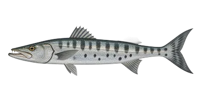 Barracuda
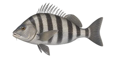 Black Drum
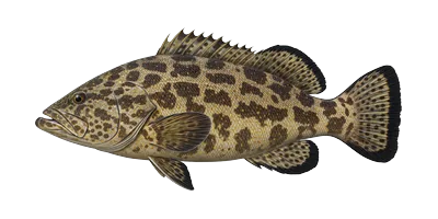 Black Grouper
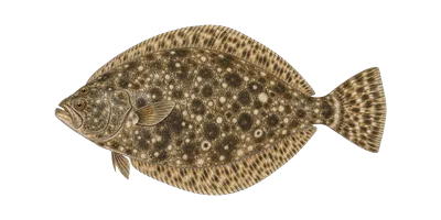 Flounder
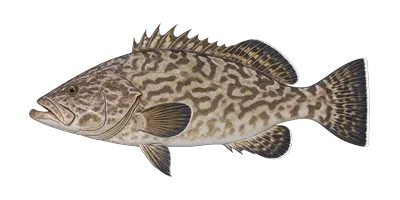 Gag Grouper
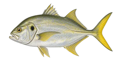 Jack Crevalle
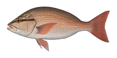 Mangrove Snapper
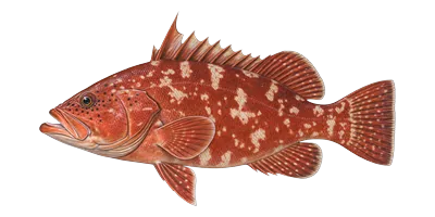 Red Grouper
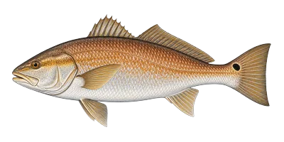 Redfish
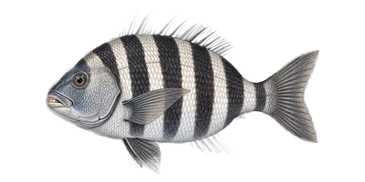 Sheepshead
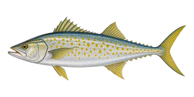 Spanish Mackerel
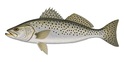 Speckled Trout
Harvest closed this month
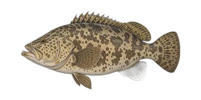 Goliath Grouper
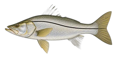 Snook
SnookCatch and release only
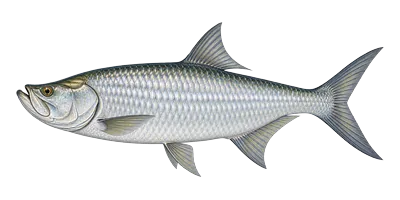 Tarpon
Seasons change, sometimes mid-season. Each fish links to its own page with the dates, sizes and limits, and the agency they came from. Confirm with your captain before keeping anything.
Questions about fishing charters in Bonita Springs
How many fishing charters are in Bonita Springs?
This page lists 7 fishing charters in Bonita Springs, Florida, each with a phone number and website checked on the captain's own site.
When is the water warmest near Bonita Springs?
May through September, when the nearest NOAA station averages 85–88°F. It's coolest in January, around 67°F.
How many deep sea fishing charters are in Bonita Springs?
4 of the 7 charters listed in Bonita Springs say on their websites that they run offshore (deep sea) trips. 4 run inshore and bay trips.
What deep sea fish can I keep in Bonita Springs in September?
Under Florida's rules you can keep red snapper, grouper, amberjack, king mackerel, mahi-mahi, tuna and cobia. Seasons change, so check each fish page or ask the captain before you keep one.
Where do state waters end off Bonita Springs?
Florida state waters in the Gulf run from shore to 9 miles out; beyond that is federal water. Federal seasons and limits apply beyond it, and for some fish they also apply to federally permitted charter boats inside state waters.
How do I book a charter in Bonita Springs?
Call the captain or use their website. CharterFishingBoat doesn't take bookings or payments, and there's no fee to use the directory.
What should I ask the captain?
Ask what the trip includes, how long it lasts, how many people can come, what you're likely to catch that time of year, and the cancellation policy if the weather turns.
What airports are closest to Bonita Springs?
The closest airports with airline service are Southwest Florida International (RSW), 13 miles away and Punta Gorda (PGD), 41 miles away. Local public airports nearby: Naples Municipal (APF), 14 miles away, Page Field (FMY), 17 miles away and Immokalee Regional (IMM), 24 miles away. Distances are straight-line miles from the centre of town.
Are there family-friendly fishing charters in Bonita Springs?
3 charters in Bonita Springs mention kids or families on their websites. Ask the captain about children's life jackets, trip length and whether there's a restroom on board.
Fish you can catch out of Bonita Springs
Counted from what each captain lists on their own website. Open each for the season and limits.
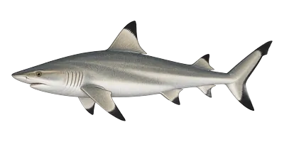 Shark
SharkCharters near Bonita Springs
Something wrong on this page? Tell us. See how we check listings.